San Gerardo de Rivas, San José, Pérez Zeledón
I have gone all the way!
I can't go any further!!!
San Gerardo de Rivas is a small village perched in the valley of the Chirripó Pacífico River in the Talamanca Mountains of south-central Costa Rica. It is 20 kilometers northeast of San Isidro de El General, which is the second largest city in the province of San José. (Source: Wikipedia)
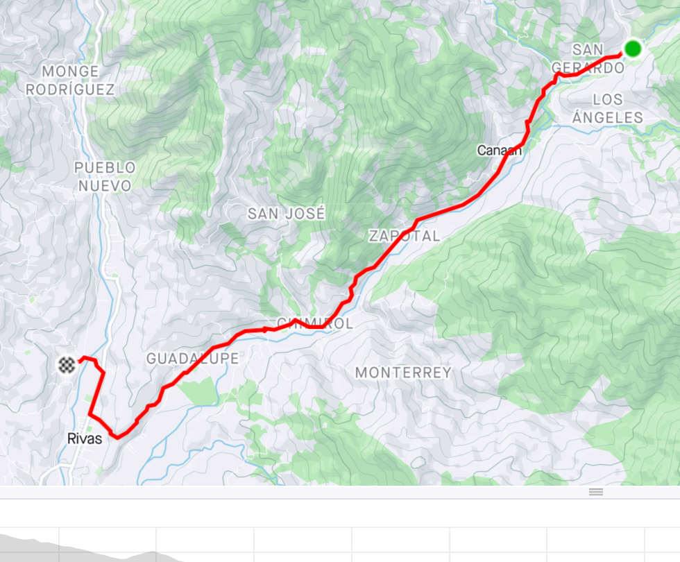
Here is the geographical location of San Gerardo
I cycled for 2 hours to get as far as possible by bike. The return was easier, I returned in just 45 minutes. (See further down on Strava )
The next step would be to go to the top of Mount Chirripó ( Cerro Chirripo)!!!
However I will have to walk for more than 6 hours to reach the top. Will I surrender? Will I try the experiment? Am I fit enough? Will my foot support this effort?
Cerro Chirripó or Chirripó Grande is the highest point in Costa Rica, at 3,820 m above sea level. It is part of the Cordillera de Talamanca, and more precisely belongs to the páramo of this mountain range.
Altitude: 3,821m
Prominence: 3,727m
Mountain range: Cordillera de Talamanca
Source: Wikipedia
Share
En savoir plus...


